
ARMELLA, SOVIET REPUBLIC OF. — The smallest (29,900 sq. km.) of the sixteen federated republics constituting the U.S.S.R., it was admitted to the Union in 1936, having previously (since 1922) been a member of the Transcaucasian Federation. The Armenian Republic (A.S.S.R.), although it does not contain within its territory any smaller dependent units, does include within its borders the Autonomous Republic of Nakhichevan, which is connected to the neighboring federated Republic of Azerbaijan (q.v.). On the other hand, while the Armenian Republic also encompasses (to the east) areas not inhabited by Armenians, it does not include all Armenians residing in the Caucasian region pertaining to the U.S.S.R. Indeed, not far from its borders, the small Autonomous Region (Autonomous Oblast) of Nagorno-Karabakh (or Mountainous Karabakh), whose population is overwhelmingly Armenian, remains entirely within the Republic of Azerbaijan, from which it is also administratively dependent.
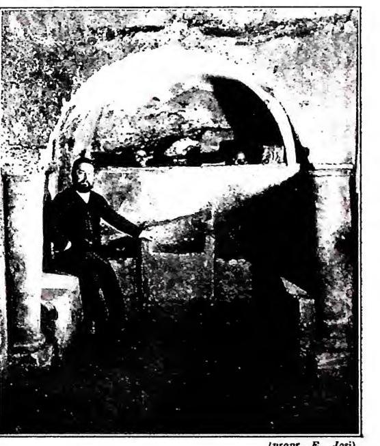
ARMELLINI, MARIANO — Photograph taken in a cubicle of the Coemeterium Maius, which he studied.
ARMELLINI, MARIANO — Photograph taken in a cubicle of the Coemeterium Maius, which he studied.
The Soviet Republic of Armenia essentially corresponds to the left (northern) side of the Araxes basin, on the slopes of the Lesser Caucasus, and despite its modest size, it exhibits considerable variety in landscape and climatic conditions. It is a mountainous region, predominantly volcanic, where vast and monotonous plateaus (rising above 2,000 m.) separated and dominated by high snow-capped peaks (Alagöz, 4,045 m.) alternate with depressed areas where the population generally tends to concentrate. The climate is typically continental, with markedly harsh characteristics due to both the limited precipitation (200–700 mm annually) and the considerable average altitude; as a result, the natural vegetation is largely dominated by steppe (Stipa) and alpine meadows, while forests are reduced to small patches.
The economy of the A.S.S.R. is still largely based on agriculture, which the Soviet regime has sought to expand through artificial irrigation (using the waters of Lake Sevan, capable of supporting 130,000 hectares of fertile land) and to enhance through specialized crops (cotton, fruit, vines). Livestock farming has also made progress (particularly in the dairy industry), but what best characterizes the country’s modern development is the strong push toward industrialization (foundries, metallurgy, chemical, textile, and food industries), facilitated by the use of hydroelectric power and the exploitation of local mineral resources (copper), which until recently were poorly understood.
The population, made up of 85% Armenians, 10% Turkic-Tatars, and 24% Russians, grew from 880,000 to 1.3 million inhabitants between 1926 and 1939; during the same period, the urban population more than doubled (its relative percentage increased from 19% to 29%).
The two most significant population centers are the capital, Yerevan, once a thriving agricultural market in the heart of a fertile irrigated basin fed by the Zangi River (at about 1,000 m. above sea level) and now a bustling industrial hub (its population grew from 65,000 to 200,000 inhabitants between 1926 and 1939), and Leninakan (formerly Alexandropol), a former military station (1,450 m. above sea level) on the Tiflis–Kars military road, which has also become a notable manufacturing center (textiles, food processing).
Despite its modest demographic and economic size, the Armenian Republic holds particular geopolitical significance within the U.S.S.R. due to its position on the border of two states (Turkey and Persia) that include Armenian ethnic minorities in their populations.