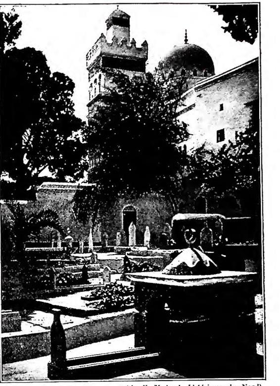
ALGERIA. - A. comprises the central section of the Atlas and a broad stretch of the northern Sahara (conquered by France between 1830 and 1870). The latter, divided into 4 territories (Ain Sefra, Ghardaia, Touggourt and Oasi del Sud) and almost desert, accounts for 9/10 of the area (2 million sq. km.), but for less than 1/10 of its population (650,000 inhabitants), and is under military authority. The remainder (210,000 sq. km., with over 6.7 million inhabitants, almost all Berbers more or less Arabized, and only 1/8 Europeans) forms part of France and, like France, is divided into departments (Algeri, Costantina, Orano), although the whole country is governed by a Governor General. The sublittoral zone, crossed by the Little Atlas, gives way to a series of short plains, and contains the greater part of the population (over 200 inhabitants per sq. km. in Cabilia); the interior is a land of arid, steppe-like plateaus, suited to pastoralism (sheep).