EDOM (IDUMEA)

Image from page 77
Image from page 77

EDOM (IDUMEA). — The name by which are called: 1) the adult Esau (Gen. 25:30; 36:19); 2) his descendants = their land (Ez. 15:15; Num. 20:14 ff.; 1:14 ff.; 11:17 ff.; 2 Sam. 8:14; 1 Kgs. 9:20; 11:14 ff.; 2 Kgs. 3:8 ff.; 8:20–22, etc.). The term *Edom* (rendered in Assyrian documents as *Idumia*, in Egyptian as *Aduma*) is translated by the Septuagint sometimes as *Edom*, sometimes as *Idoumaia*.

E. and Seir are equivalent. The dwelling place of E. is in the region and mountains of Seir: here Esau goes after leaving Jacob and the land of Canaan, so that "land of E." (Gen. 32:4; 36:8; 1:14, 4) becomes synonymous with "land of Seir," in the southern part of Palestine. An ancient theory, still held by many, identifies Mount Seir with the *Seraʿ*, east of the *Arabah* (q.v.) between the Dead Sea and the Gulf of Elanitic. It is, however, much safer to place the center of Mount Seir in the Gebel Maqra, west of the *Arabah*. Egyptian documents from around 1300 B.C. present the *Aduma* crossing the frontier to pasture their flocks in the land of the Pharaoh. Thus it is not a distant city, but a people living near Egypt. The letters of el-ʿAmārnah also place the land of Seir south of Palestine. The northern boundary of Idumea is the tribe of Judah (Josh. 15:1, 21), whose southern limit is formed by a line running from the Dead Sea to Kadesh-barnea (= ʿAjn Qedjēs) and reaching Wādi el-ʿArīs. The wilderness of Sin, north of the wilderness of Paran (Badjet et-Tih), was "along the flank of E."; or it takes eleven days' journey from Horeb to Kadesh-barnea by way of the mountains of Seir (Deut. 1:2), and in these same parts the penetration of the Simeonites into Seir, at the expense of Amalek, is recorded (1 Chron. 4:42). In early times, therefore, E. was situated west of the *Arabah*. This area is a limestone plateau, separated from the Judean highland by a ridge south of Hebron. The conquest of Seir involved crossing the Sinai desert.

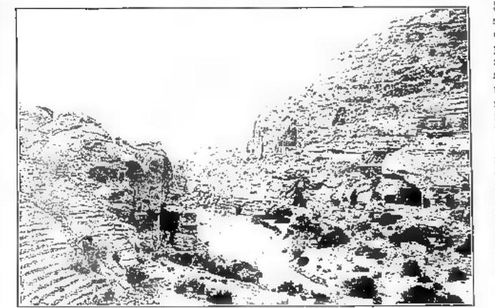
But the historical and geographical sense of E. changes with time. In the period of the kings of Judah, the existence of an eastern Edom is certain, which included the stretch between Wādi el-Ḥesā and the Gulf of Aqabah with the slopes of Gebal (Eusebius or St. Jerome considered Gebalene = Idumea) and of Seir (q.v.), whose capital was Sela (Am. 1:12; 13:34; 6:63; 11:19; 13:22). *Jeremiah* and *Obadiah* in their invectives against E. allude to the hollows of Petra (Sela) and the eagle’s nests that formed its jagged ridges. To the region of E. are attached the Meunites of *1 Chron. 20:1*, the land of Uz, the home of Job, and Teman (the land of Eliphaz), 15 miles from Petra. In the Old Testament, E. was separated from Moab by Wādi el-Ḥesā, the *Negeb*, and the wilderness of Sin, and extended as far as the Elanitic Gulf = the wilderness of Paran. The eastern part of the *Arabah* was the most noble. The Bible cites a series of cities such as Petra (q.v.) or Sela, Punon (Num. 33:42), Bozrah, Tebal (Deut. 1:1), Elath, and Ezion-geber, together with others whose identification is uncertain. After the Babylonian exile, Idumea, under pressure from the Nabataeans, extended as far as Hebron, Adora, Mareshah, and Azotus, so that its northern boundary could be fixed as the line running from Azotus, through Eleutheropolis (= Beit Jibrin), to Hebron (q.V. EDOMITI).